*This story was last updated on Apr. 17 at 5:15 p.m.
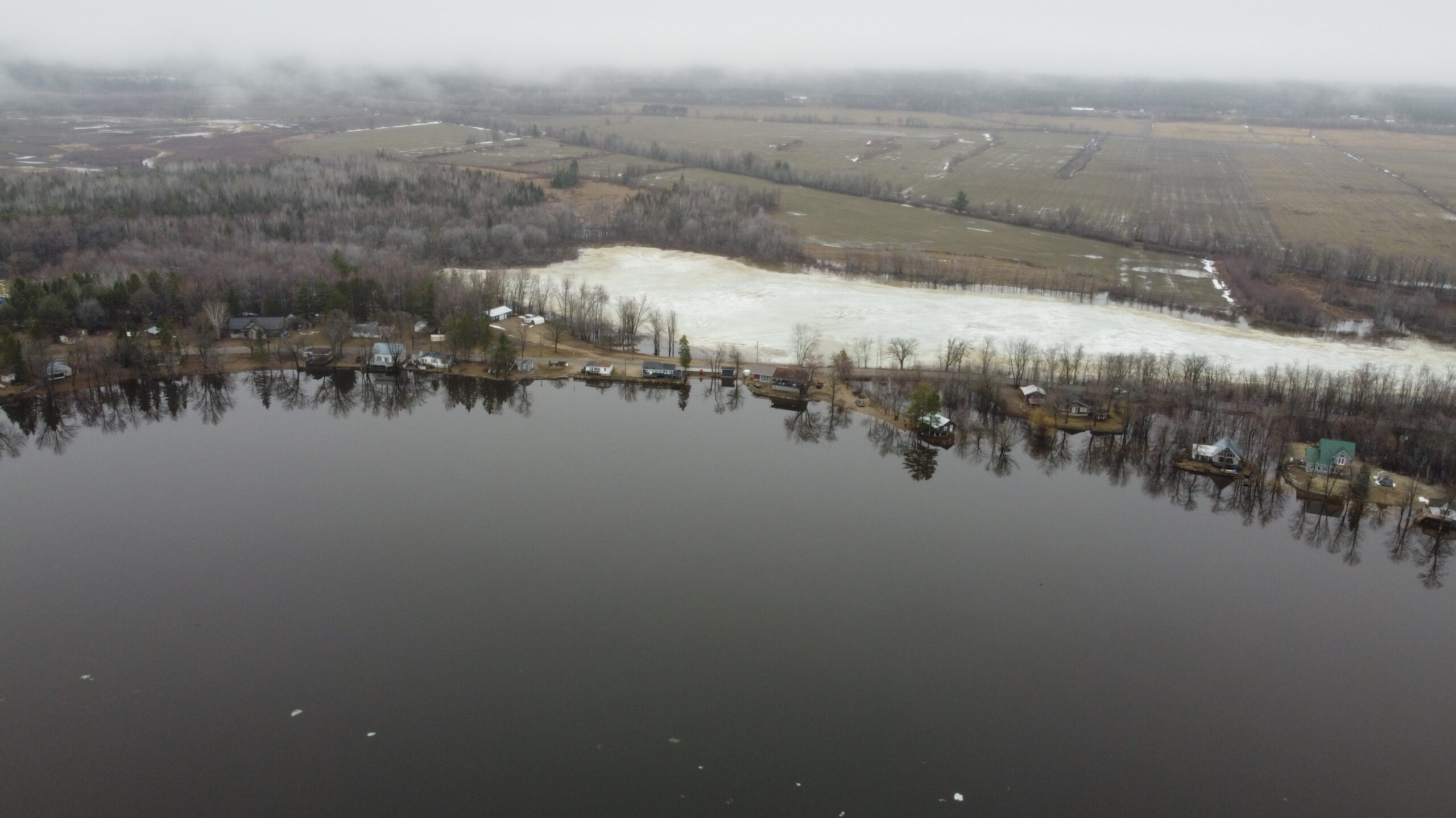
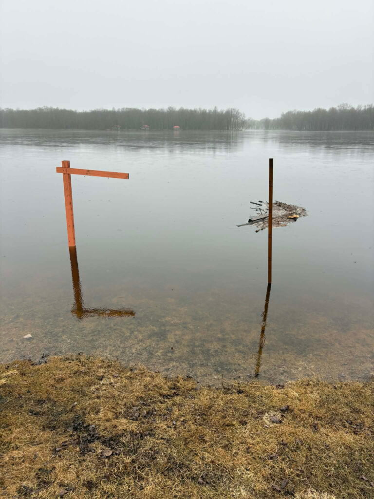
Riverfront communities across the Pontiac are bracing for high water levels expected this weekend after a week of rain and warm temperatures have caused significant snow melt.
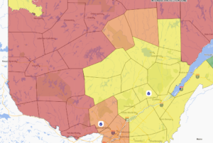
In an updated forecast published Apr. 17 at 4:40 p.m., the Ottawa River Planning Board said minor flood levels have been exceeded in most flood prone areas from Pembroke to Carillon, and that major flood levels may be exceeded over the weekend, depending on weather.
It also warned that weather forecasts are uncertain at this time, and that major flood levels from Lac Coulonge to Masson/Cumberland may be exceeded over the weekend.
The planning board defines the minor flood level as that at which parts of some streets, lawns and parks are beginning to flood, with no or few houses/buildings being affected.
The major flood level is defined as that at which one or several streets are beginning to flood, with several houses/buildings or neighbourhoods being affected.
Apr. 17 water levels were 107.97 at Lac Coulonge (Fort-Coulonge) and 75.21 at Chats Lake (Quyon).
The planning board’s four-day forecast said that by Monday, river levels could reach as high as 108.40 in Lac Coulonge, and 75.45 in Chats Lake.
It said water levels should begin stabilizing by Monday.
Residents can monitor river levels and flood forecasts at ottawariver.ca. Updates are posted every day around 4 p.m..

Municipalities that often see significant flooding are advising residents to take necessary precautions and protect vulnerable property.
In the Municipality of Pontiac, sand bags are available at the town hall on Highway 148 in Luskville and at the municipal garage in Quyon. Municipal workers are also planning to deliver some sand and sand bags to areas that regularly flood.
“After so many years, we know pretty well who gets flooded first, and we’re in contact with them, and they contact me right away when they get close,” said mayor Roger Larose, noting that by Thursday afternoon, nobody’s property was underwater.
“They’re just getting close, they’re scared, but nothing bad yet.”
L’Isle-aux-Allumettes is making sand bags available in limited quantities at the municipal garage located at 450 chemin du Rang 5. In a Facebook post it said primary residences will be prioritized, and sand bags are not intended for secondary buildings such as sheds and garages.
In an update posted to Facebook Friday morning, the Municipality of Mansfield-et-Pontefract said it had officially activated its Emergency Measures Plan, which includes the mobilization of municipal staff in at-risk sectors, and activation of a municipal coordination cell.
“The decision was made because of the high level of uncertainty in current hydrological forecasts, which indicate a sustained upward trend in water levels,” the update states.
Sand and sand bags are being made available at the municipal quarry, located at 32 chemin du Lac de la Truite. Residents able to volunteer their time to fill bags, or those requiring sand bags, are invited to call the department coordinator at 613-401-7925.

In other municipalities sand bags are available at the boat launch in Sand Bay, Clarendon, at the ball field in Waltham, at the corner of Wharf and River roads in Norway Bay, and the access way in Pontiac Station.
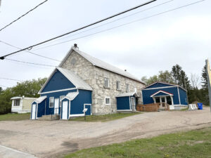
Suzie Lavigne, director of Le Patro de Fort-Coulonge/Mansfield, was among those preparing their properties for the worst case scenario on Thursday afternoon.
The outdoor community centre, located on chemin de la Passe in Mansfield right on the river’s edge, is familiar with the now routine process of securing its facilities for spring flooding. Located in a flood zone, it has not qualified for flood insurance since the 2019 flood.
“It’s very stressful, not just for me but for the team too. We’re unsure of what’s going on. We’re trying to ensure the security of our property, to save what we have,” Lavigne said.
“We’ve started the preparation of our dikes. We have two pavilions where if the levels rise to what they’re predicted to be on Saturday, they’ll be flooded. So we’ve already started with the sandbags, and our pumps.”
She said she’s used to seeing these water levels around the beginning of May, but not usually by mid-April.
“We’re just Apr. 16 and the levels are already very high, so it’s not looking good. [ . . . ] If it’s supposed to be the peak that they’re calling for Saturday, we’ll have a lot of water here.”
Road closures
Several roads have flooded or been washed out across the territory. Below are the public roads closed as of Apr. 16 at 9 a.m.
Thorne:
- Chemin Bryson between chemin Brouse and chemin Anderson
- Thorne Lake Road is also closed. If you need to travel, please use Wesley or 12th Line as alternate routes.
- Mountain Road is practically impassable due to a cleanup operation underway involving heavy machinery
- The 366 between Ladysmith and Lac-des-Loups has significant flooding
Waltham:
- Black River Road is now closed to traffic as of Trout Lake Road as there is about four inches of water on the road between Kilometre 12 and Kilometer 15. In some places the water is nine inches deep.
In an Apr. 17 update, Mansfield-et-Pontefract said the following roads have between 10 and 15 cm of water on them:
- chemin Léonard, leaving about five cottages and one residence isolated
- chemin Félix, leaving one cottage isolated
- chemin Bélec, leaving one cottage isolated
- chemin Esprit, leaving eight cottages and two residences isolated
If you know of a road closure that should be in this list, please be in touch with editor@theequity.ca.